
Site Conditions
Favorable Physical Conditions for Future Development
A Cleared, Level Site in Coastal Bandon
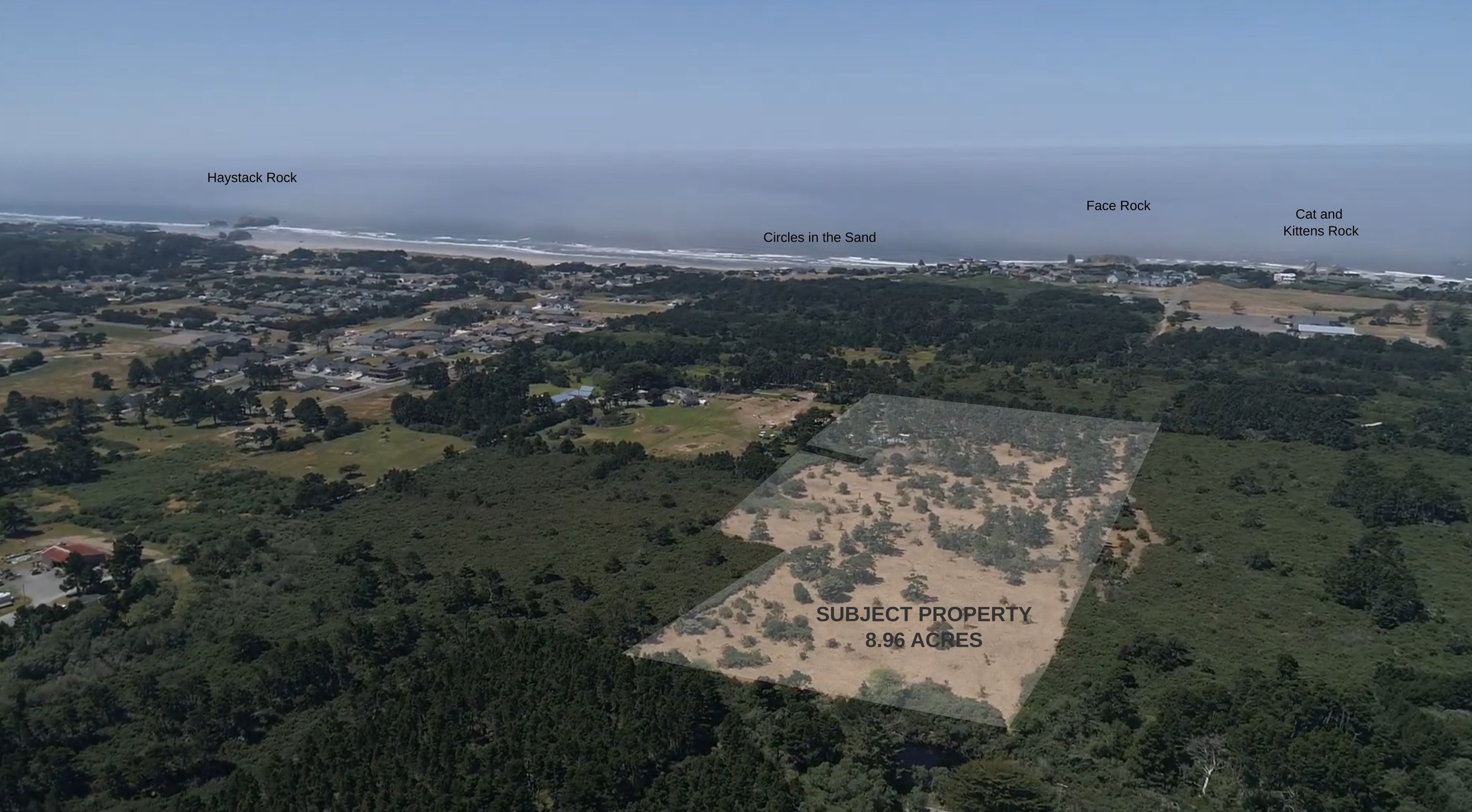
Face Rock Heights comprises approximately 8.96 acres across five tax parcels within Bandon’s Urban Growth Boundary, west of Highway 101.
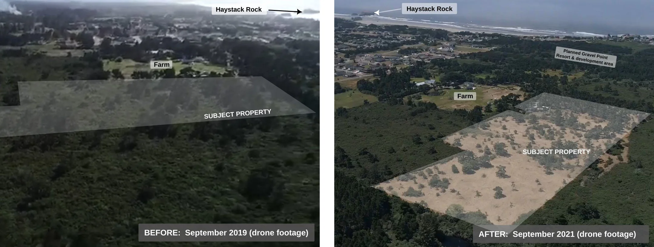
Generally level and substantially cleared, Face Rock Heights offers extensive open ground with mature shore pines throughout and greater tree cover toward the west. The clearing has made the property's scale, topography, and physical characteristics readily visible and accessible for evaluation.
Existing Site
Approximately 8.96 acres
Five tax parcels
Generally level terrain
Substantially cleared
Existing access from two directions: Highway 101 via county-permitted 21st St SW, and Harrison Road access serving the homestead.
Existing residence site
Existing well and septic system
Located within the Bandon Urban Growth Boundary
The property's five tax parcels encompass an underlying historic subdivision of 154 previously platted residential lots, generally measuring 25 × 100 feet—a distinctive characteristic of this nearly nine-acre holding.
Environmental & Hazard Context
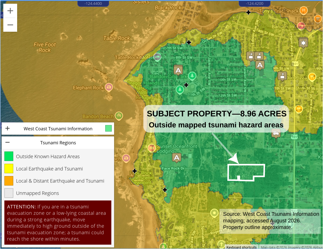
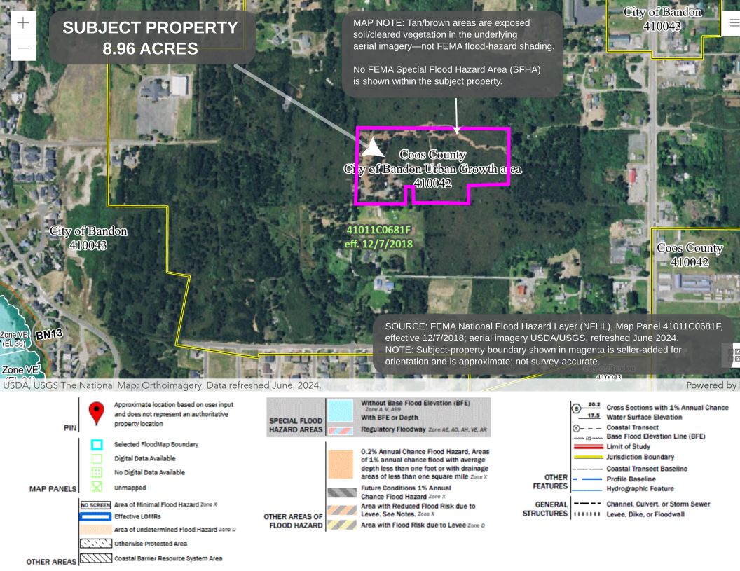
The property is outside Bandon’s mapped tsunami inundation area.
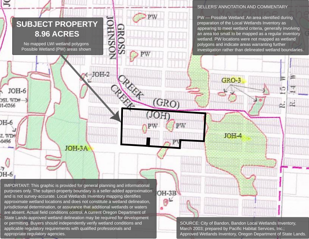
The Bandon Local Wetlands Inventory does not show mapped LWI wetland polygons within the subject property, although Possible Wetland (PW) areas are identified.
The site’s generally level topography and previously completed vegetation clearing make its physical characteristics readily visible to prospective buyers and their consultants.
Prospective buyers should independently verify environmental, geotechnical, wetland, flood, hazard, and development conditions as part of their own due diligence.
Existing Improvements & Infrastructure
The established homestead includes a 1997 Fleetwood mobile home with two bedrooms and two bathrooms, offered “as is, where is.” Existing improvements include a driveway, well, septic system, underground electric service, and cable connectivity. Additional features include six shipping containers with electrical service, a large-vehicle hammerhead turnaround, and a year-round, man-made pond.
City utility extensions are anticipated in conjunction with future development and transportation improvements in the surrounding area. Proposed future infrastructure is discussed separately on the Property & Planning page.
A Site You Can See and Understand
Unlike heavily vegetated coastal acreage, much of Face Rock Heights can now be viewed directly from the ground.
The clearing work reveals the property’s scale, generally level terrain, relationship to surrounding streets, and its position between Highway 101 and Bandon’s coastal neighborhoods.